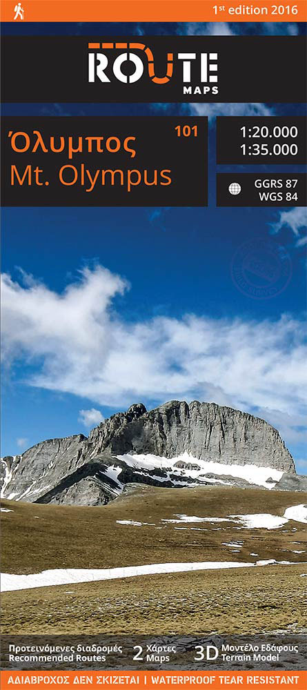
Route Maps Mt. Olympus Map

Route Maps Mt. Olympus Map
SKU: 565136000
The packaging contains two maps, in 1:20,000 and 1:35,000 scale.
The area covered by the 1:35,000 scale map is prescribed by the village of Kokkinopilo
to the west, the beach at Leptokarya to the east, the village of Dion to the north and
that of Karya to the south. The map indicates recently cut paths, European Path E4,
National Path O2, and the road network, shown with the distances in kilometres.
The 1:20,000 scale map depicts the area of greater interest with topographic precision.
It is an easy to read and user-friendly map, lightweight and easy to fold.
Recommended trekking and biking routes with route profiles and descriptions, 3-D depictions of the ground morphology, photographs, information and places of interest, comprise an up-to-date, concise guide to Mt. Olympus.
Hiking map of Mt. Olympus [101]
Climb up to the Throne of Zeus, enjoy canyoning descents at Orlias and mountain biking with a view over Kazania. Experience the intensity of mountain skiing in alpine landscapes, trek along the routes we recommend, get to know the mountain of the Gods. Mt. Olympus: where sea meets mountain, earth touches the sky and history blends with mythology
Features
- 3D Terrain model
- 100% Filed survey
- Recommended trekking routes with route profile graphs, gradients and descriptions
- Distances in km for the paths and road network
- Information and photographs
- Activities
- Forest cover depiction
Free shipping cost for orders above 40€ (For Greece)
Returns within 15 working days from the date of delivery.